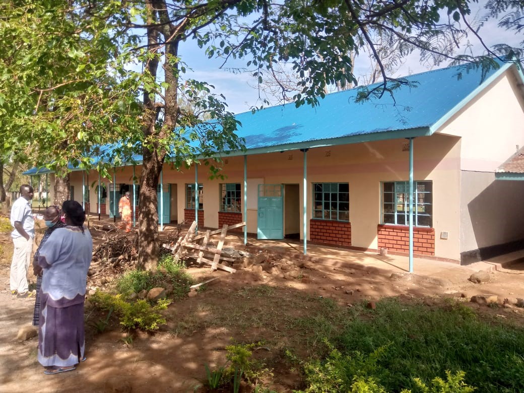
About Us
Mumias West Constituency
Mumias Constituency was an electoral constituency in Kenya. It was one of four constituencies in the former Butere/Mumias District. The constituency was established for the 1966 elections. It was later divided into Mumias West Constituency and Mumias East Constituency, part of Kakamega County.
Constituency Population: 111,862
Constituency Area In Sq. Km (Approx.): 165.30
Access NG-CDF Information on your Mobile


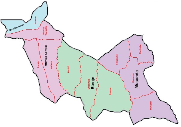
County Assembly Wards in Mumias West Constituency :
Mumias Central Ward
- County Assembly Ward No.: 1020
- County Assembly Ward Name: Mumias Central
- County Assembly Ward Population (Approx.): 37,214
- County Assembly Ward Area In Sq. Km (Approx.): 33.60
- County Assembly Ward Description: comprises part of Mumias Township, Lureko and Matawa sub–Locations of Kakamega County
Mumias North Ward
- County Assembly Ward No.: 1021
- County Assembly Ward Name: Mumias North
- County Assembly Ward Population (Approx.): 15,765
- County Assembly Ward Area In Sq. Km (Approx.): 35.70
- County Assembly Ward Description: comprises part of Nucleus Sub–Locations of Kakamega County
Etenje Ward
- County Assembly Ward No.: 1022
- County Assembly Ward Name: Etenje
- County Assembly Ward Population (Approx.): 28,162
- County Assembly Ward Area In Sq. Km (Approx.): 50.60
- County Assembly Ward Description: comprises part of Bukaya, Emukhuwa, Buchifi and Masinjira sub–Location of Kakamega County
Musanda Ward
- County Assembly Ward No.: 1023
- County Assembly Ward Name: Musanda
- County Assembly Ward Population (Approx.): 30,721
- County Assembly Ward Area In Sq. Km (Approx.): 45.40
- County Assembly Ward Description: comprises part of Musanda, Bungasi, Eshihaka and Eshikalame Sub–Locations of Kakamega County